


la montagne 70000

francislassauce
User
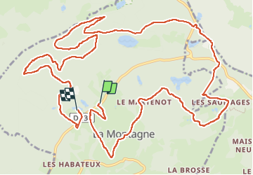

Length
17.2 km

Max alt
808 m

Uphill gradient
457 m
Km-Effort
23 km

Min alt
668 m

Downhill gradient
466 m
Boucle
No
Creation date :
2024-05-12 09:25:07.183
Updated on :
2024-05-12 14:29:28.401
5h03
Difficulty : Very difficult

FREE GPS app for hiking
 SityTrail
IGN / Geographical institutes
SityTrail Plus
The world is yours!
About
Trail Walking of 17.2 km to be discovered at Bourgogne-Franche-Comté, Haute-Saône, La Montagne. This trail is proposed by francislassauce.
Description
mille pas pour mille étangs
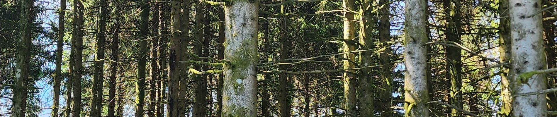
Photos


Positioning
Country:
France
Region :
Bourgogne-Franche-Comté
Department/Province :
Haute-Saône
Municipality :
La Montagne
Location:
Unknown
Start:(Dec)
Start:(UTM)
319717 ; 5310846 (32T) N.
Comments